Retrieving the file
Live· 4,218,906 positions deprecated· 4,218,906 deprecated· 1,284 today
Average time-to-redundancy: 11.3 months
Know before your role does.
pssst. this is to sign up for updates on the game ;)
Will AI replace Transit Surveyor jobs? · Latest report #snnxw7f4
Your job has an expiration date
December 15, 2029
In 3 years, 2 monthsMeasuring ground that machines will eventually pave over anyway.
Professional tripod-hauler and elevation enthusiast.
Check another roleComment your opinionor JOIN THE RESISTANCE!
One human is building a game about fighting back.
Mapping the earth without walking a step.
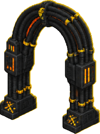
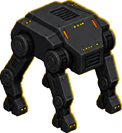
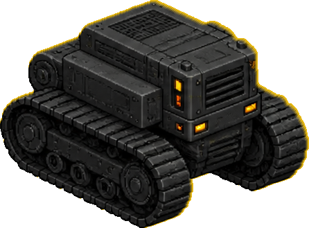



 help!youAI▸ GEOSCAN-X PRIME▸ RARITY · UNCOMMON▸ DEPRECATION IN 3 YEARS, 2 MONTHS
AI's Special Power
autocorrects terrain geometry in real time
You walk terrain to record precise elevation and boundary data for rail or road infrastructure planning.
The one thing AI can't do
You can still intuitively spot why a digital elevation model looks wrong.
Your enemy, your name, your date. Post it.
Step by step, from the first quiet change to Deprecation Day.
Day 10
Autonomous aerial drones map the site in three dimensions.
Month 8
Software removes vegetation interference from point cloud captures.
Month 20
Remote-controlled carts verify elevation at high-risk transit junctions.
Year 2.5
Machines self-correct survey errors without human optical verification.
Year 3.2 · D-Day
Surveying becomes a background task for site-wide monitoring systems.
What you cost, what the machine costs, and what you get on the way out.
Per year
Savings: 94%
18000
Steps walked daily
2 percent
Errors caught by reality
5 years
Hours spent staring at tripods
Your severance
A laser level and a high-visibility vest.
Discussion